
Land Snapshot
FreeGet to know a plot and its surroundings before digging deeper — in one clear report, with maps, sources and dates.
What it's for
The Land Snapshot is the starting point. In a single, easy-to-read document it brings together everything publicly known about a plot: its characteristics, national constraints, risks, surroundings and municipal context. It is not a planning opinion — it is territorial intelligence that helps you understand what you're looking at.
Who it's for
Foral's most accessible report — built for people with no technical background.
Expats and new residents
“What is the territory around this plot like before I buy?”
Buyers and the curious
“What is this plot and what should I know about it?”
Landowners
“What do I actually own, and what constraints affect it?”
Real-estate agents
“How do I enrich a listing with trustworthy data about the plot?”
What's inside
About 13 sections, with two maps and a constraints annex.
- Plot identification: coordinates, area, cadastre (where available) and an aerial image
- Characteristics: soil, altitude, slope, aspect and solar potential
- National constraints: REN, RAN, protected areas and servitudes
- Fire risk and water/aquifer indicators
- PDM land classes (overview)
- Surroundings: access, settlements, services and nearby points of interest
- Municipal context: housing, population and essential services
- Constraints annex and the list of sources consulted
Take a look inside
Cover and sample pages from a real Land Snapshot.
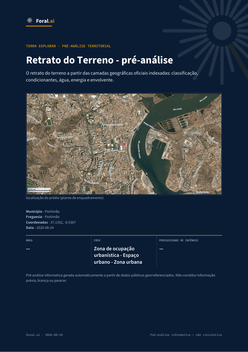
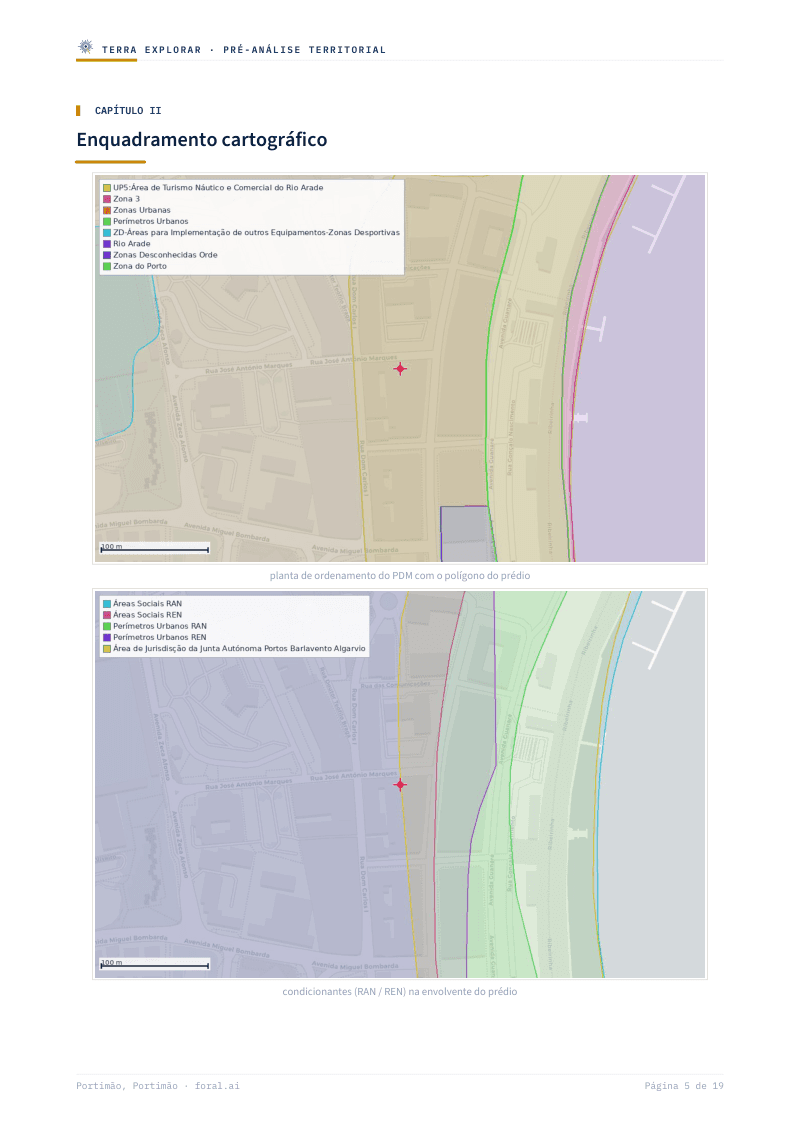
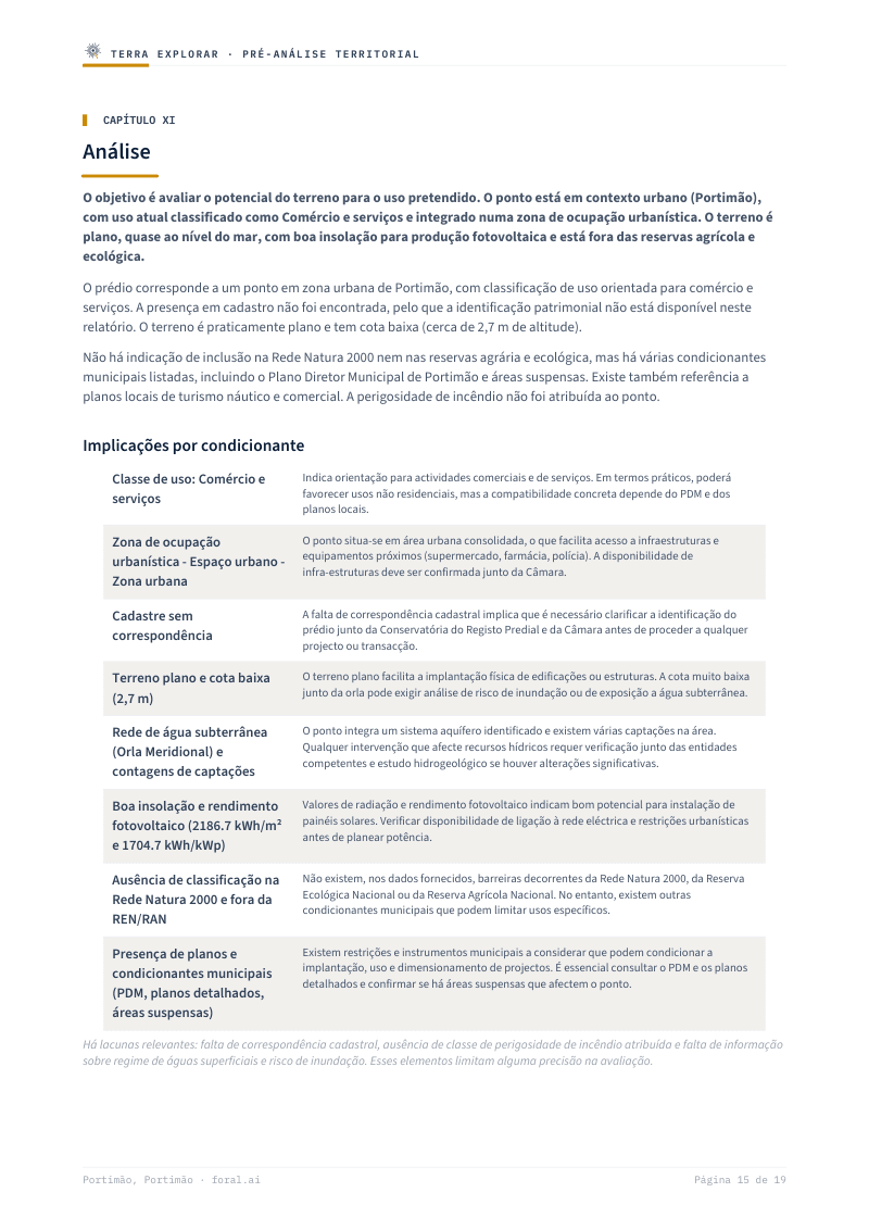
Real example — the values depend on the plot analysed.
Download an example
See a full report before you generate your own.
How to get it
Three steps to use the quota included in your plan.
Create an account
Sign up for free on Foral.
Mark the plot
Pick the point on the map in Foral Terra.
Generate the report
The Snapshot is generated in seconds, ready to download.
The free account includes a monthly quota. After using it, see the one-off purchases available in the store.
The three reports
Understand, decide, design — each report for a different moment and audience.
Land Snapshot
For everyone — the simplest and most accessible
Everything you should know about a plot and its surroundings, in plain language: soil, constraints, risks and municipal context.
Land Feasibility
To decide — clear even without technical knowledge
The verdict on a plot's potential: what you could do, the estimated capacity, the main risks and what to check before committing.
Learn moreComing soonDesignLand Dossier
For professionals and firms — architects, engineers, lawyers, developers
The most technical, complete report: article-level zoning (PDM), parameters, geometries, sources and scenarios — for those who need the evidence.
Coming soonFrequently asked questions
- Is the Land Snapshot really free?
- The free account includes a monthly Snapshot quota, with no card. After using it, you can see available one-off purchases in the store.
- Does it tell me whether I can build?
- The Snapshot helps you get to know the plot. To learn what you could build, with a verdict and risks, see the Land Feasibility report.
- Where does the data come from?
- From official, public sources (DGT, ICNF, municipal PDM and others), always with the source and date shown.
- Does it work for any plot in Portugal?
- It works across mainland Portugal. The depth of the analysis depends on the data available for each municipality.
Start with the Land Snapshot
Pick a plot on the map and generate the report with the quota available on your account.
Analyse a plot